Upper Norwood Recreation Ground (Croydon)
Brief Description
The site for Upper Norwood Recreation Ground was acquired by Croydon Corporation from the Ecclesiastical Commissioners, and opened in May 1890, laid out with serpentine walks and planted with 1600 trees and shrubs. Facilities included a bandstand, tennis courts and changing rooms; a drinking fountain and rustic shelter were donated in 1891. A popular park particularly for football and cricket, it was also intended to serve nearby Lambeth, which then had little public open space. The north-west area was used for allotments in the 1930s, but later returned to sports ground.
Practical Information
- Site location:
- Chevening Road/Eversley Road, Norwood New Town, Upper Norwood
- Postcode:
- SE19 3PY
- What 3 Words:
- each.yours.walks
- Type of site:
- Public Park
- Borough:
- Croydon
- Open to public?
- Yes
- Opening times:
- 8am Mon-Fri/9am weekends - dusk
- Special conditions:
- Facilities:
- Football pitches, multi-games court (football only), changing rooms, toilets
- Events:
- Public transport:
- Rail: Gipsy Hill c.2km to north. Bus: 450


- Research updated:
- 01/12/2008
- Last minor changes:
- 29/03/2026
Please check with the site owner or manager for latest news. www.croydon.gov.uk
Full Site Description
The site for Upper Norwood Recreation Ground was acquired by Croydon Corporation in 1890 from the Ecclesiastical Commissioners for £6,100 and was laid out by the Borough Road Surveyor, whose works included construction of two new roads Eversley and Chevening, costing an additional £787. The land was drained and planted with 1600 trees and shrubs, the turf stripped and re-laid, and the land 'fenced' with suitable entrances at a cost of £913, making a total of £7800. During landscaping works they encountered a problem with mould on the summit of the hill and it was gently sloped using soil that was there. The new park had serpentine walks, bandstand, drinking fountain and shelter (although the latter was not provided until after the park had opened); tennis courts and changing rooms, and the ground was popular for football and cricket. It was opened on 14 May 1890 by the Mayor of Croydon on the same day that Wandle Park (q.v.) was opened, and the well-attended opening ceremony had musical entertainment, children's games, tea and fireworks provided by C T Brock & Co. It was described in the local press as being 3 minutes' walk from the 'bourgeoisie, snobocracy and upper middle class of Upper Norwood villadom'.
In 1891 a drinking fountain was erected in the north-east of the park, which has a plaque recording that it was 'presented by T Tufnell, Southgate 1891'. Councillor Foss presented a small rustic shelter in April 1891, which was placed opposite the cricket ground. The park was also intended to serve nearby Lambeth, which had little public open space at the time. Crystal Palace was nearby and could be seen from the new park. In 1938 the facilities included 2 hard and 2 grass tennis courts, one cricket pitch and 2 football pitches, with a pavilion and dressing rooms, with lavatories near the Chevening Road entrance.
Within the recreation ground is one of the head-waters of the Effra River, which used to be visible but now runs culverted or underground in the north west. In 1935 new drains were constructed following flooding caused by the inadequacy of the old brick-lined drains. Several springs rise to the west of Church Road, flowing under Chevening Road to join with another course that flows under Orleans Road, Hancock Road and Hermitage Road to its lowest point and through the grounds of the Virgo Fideles School (q.v.). Queen Elizabeth I purportedly came up the river in her barge to where Hermitage Road now stands. The west part of the park, poorly drained, was used as allotments in the mid-C20th. In 1973 the bandstand and pond were still in place, the latter connected to the upper head waters of the Effra.
The original layout of the park is now much simplified and the bandstand and shelter have gone, but new shrubbery planting has been created along the Harold Road boundary at the south-east and the drinking fountain remains. At one time the trees in the park included elms, limes and poplars but the gales of 1987 destroyed many of the big trees. Today the park is tree-lined to north-east and south-west with lime, oak and black poplar trees. A modern pavilion is located towards the western end of the park.
Sources consulted:
M A Winterman, 'Croydon's parks: an illustrated history' (LB Croydon, 1988), p107/8. Croydon Corporation Minutes 1887-8, 1888-9, 1890-1, 1890-1; John Coulter, 'Norwood', (Sutton, 2002), p40; J B Wilson, 'The Story of Norwood' (LB Lambeth, 1973), pp12, 43; Beryl D Cheeseman, 'Treetops and Terraces' (Theban, 1991), p45; W C Berwick Sayers, 'The Parks and Pleasure Grounds of Croydon' (Croydon Corporation, 1938), p.40; LB Croydon, 'Local List of Historic Parks & Gardens', December 2008.
LPGT Volunteer Research by Kristina Taylor, 2006
Further Information (Planning and Conservation)
- Grid ref:
- TQ327704 (532763,170400)
- Size in hectares:
- 7.69
- Site ownership:
- LB Croydon
- Site management:
- Parks and Open Spaces
- Date(s):
- 1890
- Designer(s):
- Borough Road Surveyor
- Listed structures:
- None
- On National Heritage List for England (NHLE), Parks & Gardens:
No- Registered common or village green on Commons Registration Act 1965:
No- Protected under London Squares Preservation Act 1931:
No
Local Authority Data
The information below is taken from the relevant Local Authority's planning legislation, which was correct at the time of research but may have been amended in the interim. Please check with the Local Authority for latest planning information.
- On Local List:
- Yes
- In Conservation Area:
- Yes
- Conservation Area name:
- Harold Road - Upper Norwood
- Tree Preservation Order:
- No
- Nature Conservation Area:
- Yes - Local Importance
- Green Belt:
- No
- Metropolitan Open Land:
- No
- Special Policy Area:
- No
- Other LA designation:
- Local Open Land
Photos
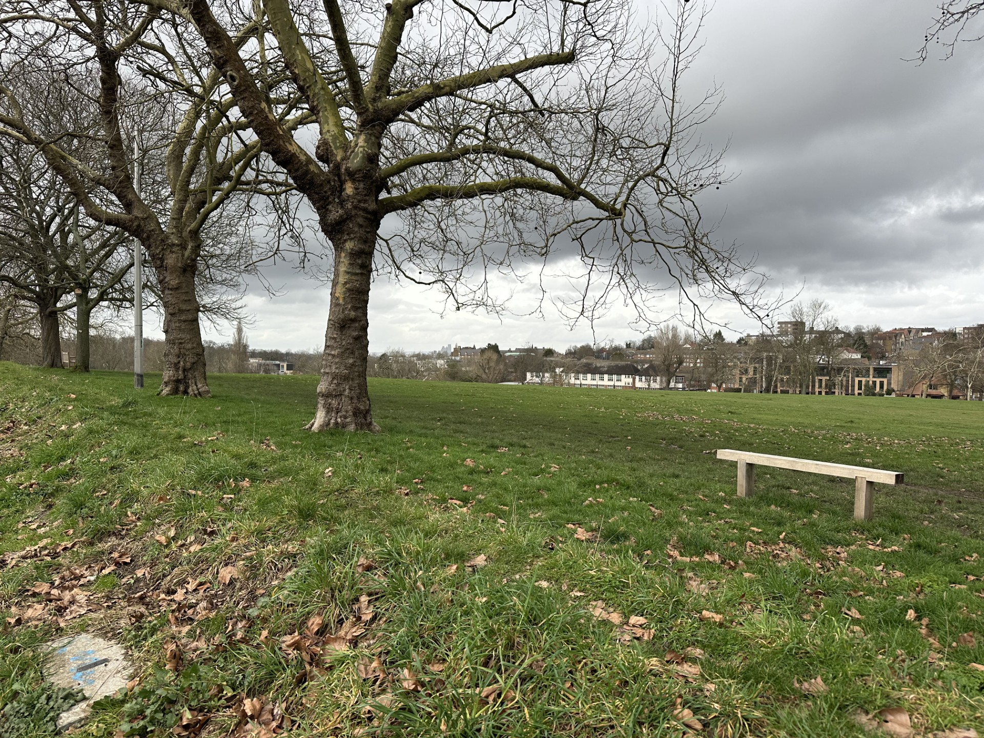
View from Eversley Road across middle of park. 8 Feb 2026. Helen Monger

2026 
2026 
2026 
2026 
2026 
2026 Click a photo to enlarge.
Please note the Inventory and its content are provided for your general information only and are subject to change. It is your responsibility to check the accuracy.