Keir Hardie Recreation Ground (Newham)
Brief Description
Keir Hardie Recreation Ground is named after Keir Hardie, who was returned as the first truly Labour MP by the constituency of West Ham South in 1892. The area had rapidly developed from the mid C19th as the former marshland became a densely populated industrial area. The site of the recreation ground in Custom House was covered by housing by the 1860s. Custom House was badly bombed in WWII and the large post-war Keir Hardie Estate was built in the 1950s, with Keir Hardie Recreation Ground provided as public open space. Surrounded by modern railings, the park has been renovated as part of recent regeneration efforts and has a perimeter path, mature and recently-planted trees, play areas and football pitches.
Practical Information
- Site location:
- Appleby Road/Tarling Road/Redland Road, Custom House
- Postcode:
- E16 1LQ
- What 3 Words:
- scale.couches.bridge
- Type of site:
- Public Park
- Borough:
- Newham
- Open to public?
- Yes
- Opening times:
- dawn to dusk
- Special conditions:
- Facilities:
- Five-a-side football goal, multi-use games area, play area with sandpit, trim trail
- Events:
- Public transport:
- Tube: Plaistow (District, Hammersmith & City) then bus. DLR: Royal Victoria. Rail: Custom House then bus. Bus: 147, 241


- Research updated:
- 18/05/2026
- Last minor changes:
- 18/05/2026
Please check with the site owner or manager for latest news. https://www.newham.gov.uk/homepage/126/find-your-local-park
Full Site Description
Until the mid C19th much of this area was marshland, which was opened up to industrial development after the railway from Stratford to North Woolwich was completed in 1847, an undertaking by engineer George P Bidder. Bidder then purchased the area between Bow Creek and Galleons Reach, part of which was sold for the Royal Docks. Factories began to be built along the riverside, attracted here not only by the rail and river links but also because it was outside the area governed by London's employment and building laws, such as the Metropolitan Building Act of 1844, which prohibited 'harmful trades' in London. As a result housing for the workforce was urgently needed, but what was built was often overcrowded and insanitary, bringing hardship and illness. Social and political activists, including James Keir Hardy, began campaigning to improve conditions in such areas. In 1886 the Metropolitan District Councils were established by Act of Parliament and new councils such as that at West Ham began to address the social issues, including the need for recreational open space, which was then being championed by a number of individuals and organisations, among them the Metropolitan Public Gardens Association, which had been founded in 1882.
Keir Hardie was returned as the first truly Labour MP by the constituency of West Ham South in 1892. Indeed the County Borough of West Ham is important in socialist history: in 1898-1900 it had the first socialist administration in the country; the Stratford Society, which was founded in 1862 by rail workers became the London Co-operative Society, and one of the first unions to be founded was in Canning Town in 1889 later becoming the General Municipal Boilermakers Allied Trades Union. Custom House station had opened in 1855 and by the 1860s the area where Keir Hardie Recreation Ground was later laid out was densely covered with housing. St Luke's Church was built in 1875, and other amenities were provided but conditions here were poor and slum clearance began after WWI in order to improve housing conditions. The Custom House area was heavily bombed in WWII, due to its proximity to the Docks, with possibly the worst civilian disaster of the war occurring at Hallsville School in 1940 when at least 73 people were recorded dead though local estimates were far higher. After the war 85% of the housing in the area had gone.
Construction of the Keir Hardie Estate began in 1947 to provide better housing, schools and public amenities. It was designed along 'Garden Suburb' principles, a low density estate with wide tree lined streets. The estate plan of 1952 shows proposed open space on what is now Keir Hardie Recreation Ground, at that time still to be cleared of derelict houses. By the late 1950s the new park had a children's playground, park building, and grassed areas for sports and informal recreation. Within the park was a building owned by the church, used by the Boyd Institute as a youth club of St Luke's Church. When this was demolished in the early 1980s its site was cleared as a grassed play area within the recreation ground, but it remains in the ownership of the church. Custom House and Canning Town area suffered again as a result of the closure of the docks, which led to relocation of local industries, loss of jobs and closure of local amenities. St Luke's Church was closed, the building converted into a community facility in 1999.
In recent years the recreation ground has been part of regeneration works in the Canning Town area, and now has outdoor gym facilieties, concrete basketball court, large children's play area, changing room with parking, football pitches, new path layout and park furniture, and landscape improvements have included tree planting. Keir Hardie Recreation Ground was awarded the Green Flag Award in 2023/24 for the first time.
Many of the original tower blocks of the 1950s estate have since been replaced as part of Canning Town regeneration by Newham Council.
Sources consulted:
LB Newham Parks Archive; Ben Weinreb & Christopher Hibbert, 'The London Encyclopaedia' (Macmillan, revised ed. 1993); LB Newham Parks: Keir Hardie Recreation Ground Report (c.2006); https://www.newham.gov.uk/news/article/1114/newham-scoops-yet-another-green-flag-award; https://www.newham.gov.uk/regeneration-1/regeneration-project-canning-town-custom-house/9
Further Information (Planning and Conservation)
- Grid ref:
- TQ399811 (539950,181150)
- Size in hectares:
- 2.7
- Site ownership:
- LB Newham (part owned by C of E)
- Site management:
- Parks Service
- Date(s):
- 1950s
- Designer(s):
- Listed structures:
- None
- On National Heritage List for England (NHLE), Parks & Gardens:
No- Registered common or village green on Commons Registration Act 1965:
No- Protected under London Squares Preservation Act 1931:
No
Local Authority Data
The information below is taken from the relevant Local Authority's planning legislation, which was correct at the time of research but may have been amended in the interim. Please check with the Local Authority for latest planning information.
- On Local List:
- No
- In Conservation Area:
- No
- Tree Preservation Order:
- No
- Nature Conservation Area:
- No
- Green Belt:
- No
- Metropolitan Open Land:
- No
- Special Policy Area:
- Yes - Archaeological Priority Area Tier III
- Other LA designation:
- Green Space to be Protected
Photos
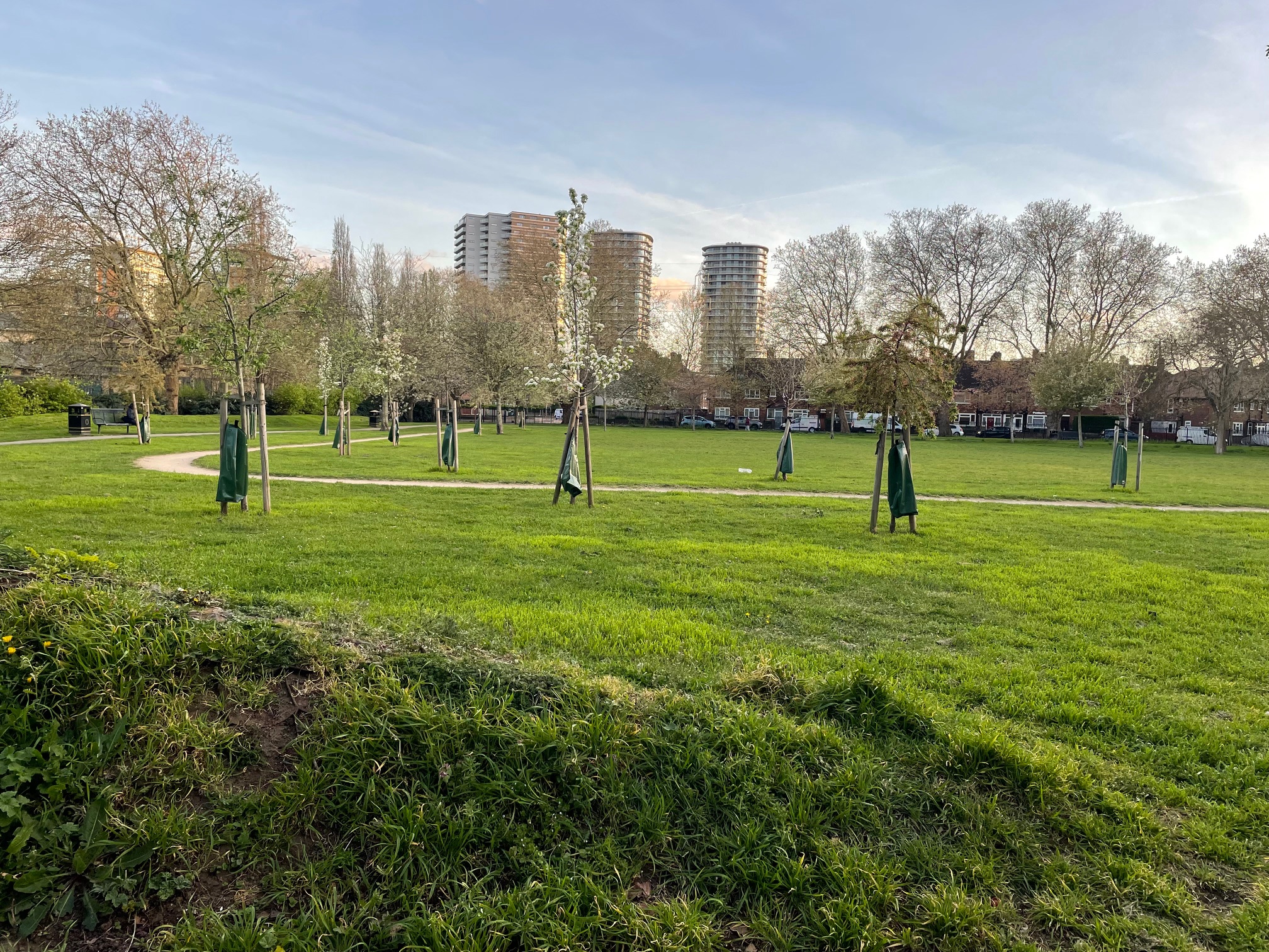
Keir Hardie Recreation Ground, April 2026. Photograph Sally Williams

2026 
2026 
2001 Click a photo to enlarge.
Please note the Inventory and its content are provided for your general information only and are subject to change. It is your responsibility to check the accuracy.