Leader's Gardens (Wandsworth)
Brief Description
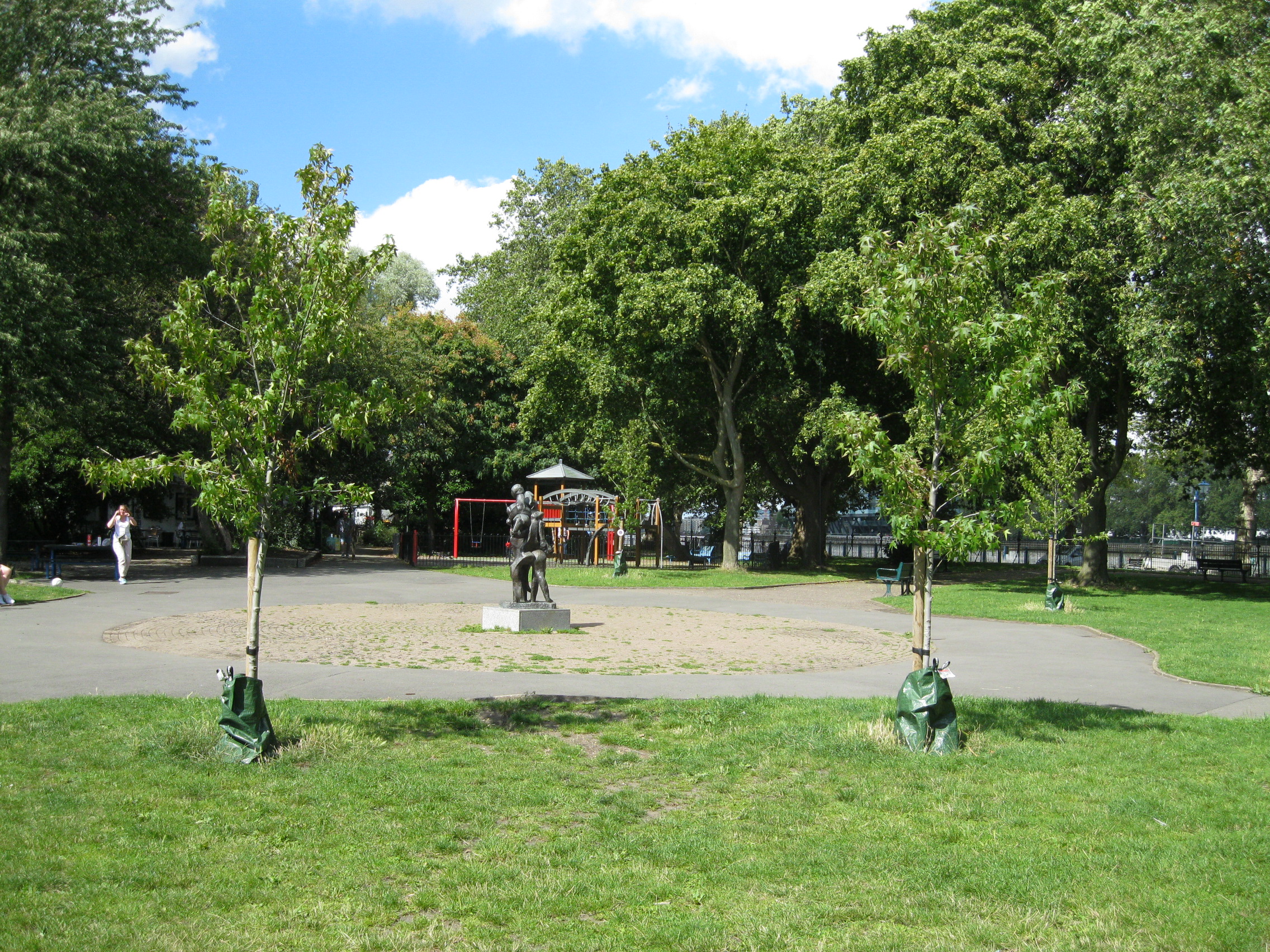
Leader's Gardens is a small public park lying along Putney Embankment between the towpath to the Thames and the surrounding late C19th/early C20th housing. The Putney riverside was used by boatmen and for boat building from at least the C17th, and for rowing from c.1830. Although there was a towpath by the late C18th, the Embankment as it exists today was laid out c.1890 as a recreational area by the Putney parish surveyor, J C Radford, who was also responsible for the slipway serving various rowing clubs, the bridge over the Beverley Brook and Leader's Gardens, which opened to the public in 1903. Radford was also surveyor to the Leader Estate in west Putney. The residential development came a little later than the layout of the Embankment and gardens. At the towpath entrance to the park the original cast iron gate and piers are in good condition, as are the original railings along the riverside, which feature very dynamic finials.
Practical Information
- Site location:
- Festing Road/Ashlone Road/Stockhurst Close (Riverside Path)
- Postcode:
- SW15
- What 3 Words:
- during.harp.fight
- Type of site:
- Public Park
- Borough:
- Wandsworth
- Open to public?
- Yes
- Opening times:
- 8am - dusk
- Special conditions:
- Facilities:
- playground, tennis courts; One O'Clock Club
- Events:
- Public transport:
- Tube: Putney Bridge (District). Bus: 22, 265


- Research updated:
- 01/05/2005
- Last minor changes:
- 29/03/2026
Please check with the site owner or manager for latest news. www.wandsworth.gov.uk/homepage/41/parks_and_open_spaces
Full Site Description
Leader's Gardens have been altered and extended since the original layout and the park now has a play area and a separate railed-off tranquil garden which slopes down to Beverley Brook. There are fine trees including mature horse chestnuts. The gardens used to have well-kept flowerbeds and shrubs, tended by a gardener who had a garden hut by the tennis courts, but this was later removed.
Sources consulted:
LB Wandsworth, Putney Embankment Conservation Area Character Statement; 'The London County Council and what it does for London: London Parks and Open Spaces' (Hodder & Stoughton, 1924); Leaders Gardens Management Plan 2009-2014
Further Information (Planning and Conservation)
- Grid ref:
- TQ235761 (523549,176170)
- Size in hectares:
- 1.2
- Site ownership:
- LB Wandsworth
- Site management:
- Parks Service
- Date(s):
- 1890 - 1903
- Designer(s):
- J C Radford, Putney Parish Surveyor
- Listed structures:
- LBII: bollards at either end of Spring Passage and along Embankment
- On National Heritage List for England (NHLE), Parks & Gardens:
No- Registered common or village green on Commons Registration Act 1965:
No- Protected under London Squares Preservation Act 1931:
No
Local Authority Data
The information below is taken from the relevant Local Authority's planning legislation, which was correct at the time of research but may have been amended in the interim. Please check with the Local Authority for latest planning information.
- On Local List:
- No
- In Conservation Area:
- Yes
- Conservation Area name:
- Putney Embankment
- Tree Preservation Order:
- No
- Nature Conservation Area:
- No
- Green Belt:
- No
- Metropolitan Open Land:
- No
- Special Policy Area:
- Yes - Archaeological Priority Area/Putney Embankment Special Policy Area
- Other LA designation:
- Other Larger Protected Open Space Site. Strategic View Corridor
Photos

Leader's Gardens - Photo: Colin Wing
Date taken: 14/08/23 14:17Click a photo to enlarge.
Please note the Inventory and its content are provided for your general information only and are subject to change. It is your responsibility to check the accuracy.