Telegraph Hill Park (Lewisham)
Brief Description
Telegraph Hill Park is in two parts, an upper park in the south, and a lower park in the north, divided by Kitto Road. It incorporates the site of one of the Admiralty's C18th semaphore stations, which was in use until 1815, from which the park gets its name. The public park was the inspiration of the Managing Director of the Metropolitan Gas Co., who contributed £2,000 with similar amounts from the LCC and Greenwich Board of Works, to purchase the land from the Haberdashers' Company. The park was opened on 6 April 1895, and its layout included a bandstand, ponds and elaborate walks, with perimeter planting and a perimeter walk. A shelter and toilets were added later in the northern park, and tennis courts were built on the site of the semaphore station in the south part, which has magnificent views. The park has continued to develop and was restored through a grant from the HLF.
Practical Information
- Site location:
- Kitto Road/Drakefell Road/Arbuthnot Road/Pepys Road/Erlanger Road, New Cross
- Postcode:
- SE14 5TW
- What 3 Words:
- tend.chew.owls
- Type of site:
- Public Park
- Borough:
- Lewisham
- Open to public?
- Yes
- Opening times:
- Upper/southern park: unrestricted; Lower/northern park: 8am - sunset
- Special conditions:
- no dogs in northern (lower) park
- Facilities:
- Children's playground and play club, tennis and basketball courts; mobile refreshment kiosk in summer (Hill Station Cafe)
- Events:
- Public transport:
- Rail: Nunhead. Bus: 343


- Research updated:
- 07/11/2024
- Last minor changes:
- 29/03/2026
Please check with the site owner or manager for latest news. https://lewisham.gov.uk/inmyarea/openspaces/parks/telegraph-hill-park; www.thehill.org.uk
Full Site Description
Telegraph Hill Park consists of two plots either side of Kitto Road and opened as a public park in 1895, incorporating the site of one of the Admiralty's C18th semaphore stations. This had been established in 1795 prior to which the hill was known as Plow'd Garlic Hill, possibly derived from the surname of the family who once owned and farmed the land. At one time James Martin and Sons, farmers, dairymen, hay and straw merchants, and once the largest employers of labour in Brockley, had a large dairy farm on the slopes of the hill, and the Hatcham area was particularly noted for market gardening.
From 1614 the Haberdashers' Company had owned the ancient manor of Hatcham and from the 1870s onwards a 'superior class' of houses were being built in the area, examples of which are Pepys Road and Erlanger Road, which had to adhere to a strict Haberdashers' style. The semaphore station stood on the highest point of the hill, and was one in the line from the Admiralty building in Whitehall to Deal and Dover and the Continent. It consisted of a wooden hut with a frame in the roof with wooden shutters that could be opened in different combinations to make up 63 signals. Semaphore was used before the discovery of the electric telegraph and Wellington's victory at Waterloo in 1815 was one of many important victories and defeats that were transmitted to London via Telegraph Hill's semaphore station. Soon after 1815 the station fell into disuse with the coming of the electric telegraph.
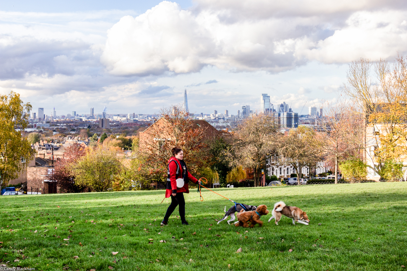
The public park was the inspiration of Mr Livesey, Managing Director of the Metropolitan Gas Co., after the directors, pleased with his handling of a strike, made him a gift of £1700, to which he added £300. With similar contributions by the LCC and Greenwich Board of Works, the land was purchased from the Haberdashers' Company for £6,000. A further £1,500 was spent on layout and it was officially opened by Sir Arthur Arnold on 6 April 1895. The northern part of the park was laid out on a narrow rectangle that slopes dramatically north and west; the southern part of the park was laid out on the bare hilltop. The park's layout was designed by LCC Head of Parks Lt Col J.J. Sexby and included a bandstand, ponds and elaborate walks, with perimeter planting and a perimeter walk. Sexby commented that the steepness of the site made it tricky to lay out and wrote 'On the larger plot is a small ornamental lake in two sections at different levels, from which paths lead to a gravel promenade at a high elevation, in the centre of which is a bandstand. ... The smaller plot, which crowns the summit of the hill, is more level, and upon this lawn tennis and children's games are practicable' (The Municipal Parks, Gardens and Open Spaces of London') . However, two tennis courts built on the site of the semaphore station in the south part with marginal ornamental planting are not shown on OS maps until the1948 revision. Mr Livesey presented a drinking fountain to the park but this is no longer in place. A shelter and toilets were added later in the northern park.
By the 1990s the park was much neglected, its railings and gates no longer in place, ponds filled in, with derelict toilets and no play equipment. The northern park's concrete-lined ponds were empty by 1995 and both shelter and bandstand had been demolished but the path layout remained. The Telegraph Hill Society set up the Friends of Telegraph Hill Park in 1993 to rescue the park and was successful in gaining funding from the Heritage Lottery Fund and Lewisham Council. The park re-opened in 2005. The pond has willows and shrubbery to the east, with notable plane trees to the north of the pond; banks along the east are planted with a shrubbery belt. The site of the shelter is south of the pond. The southern part is overlooked from the north by the church of St Catherine, Hatcham; railings are along the east boundary, and to the east are terraced rose gardens laid out on the slope. The park was owned by the LCC and then the Greater London Council (GLC) until 1971 when it transferred to Lewisham Council.
The park remains a dramatic, combe-like site. It has oak, beech, thorn and hornbeam at the hilltop in the southern part. It is recipient of the Green Flag Award.
Sources consulted:
Bridget Cherry & Nikolaus Pevsner, 'The Buildings of England: London 2: South' (Penguin) 1999; Harriet Jordan 'Public Parks, 1885-1914' A dissertation 1992, p141; J J Sexby 'The Municipal Parks, Gardens and Open Spaces of London', 1898 p130-40; Ben Weinreb, Christopher Hibbert ed. 'The London Encyclopaedia' revised ed. 1993, p881; Deptford tithe award 1942; LB Lewisham Telegraph Hill Nature Trail; 'Telegraph Hill Park, a brief guide', LB Lewisham (n.d.); Malcolm Bacchus 'The Telegraph Hill Parks: An introduction to their history and restoration works, compiled by the Telegraph Hill Society' on www.bacchus.org.uk (see Friends of Telegraph Hill website). See also https://londongardenstrust.org/features/telegraph.htm: Malcolm Bacchus, 'Telegraph Hill, An HLF Success Story', London Landscapes, No. 10, Summer 2005; Candy Blackham, 'Green Lewisham' (Clink Street Publishing, 2022)
Further Information (Planning and Conservation)
- Grid ref:
- TQ358761 (535882,176152)
- Size in hectares:
- 4.13
- Site ownership:
- LB Lewisham
- Site management:
- Greenscene Department, Glendale Grounds Management/Telegraph Hill Park Users Group/Telegraph Hill Society (Chairman Malcolm Bacchus)
- Date(s):
- 1895
- Designer(s):
- J J Sexby, LCC
- Listed structures:
- None
- On National Heritage List for England (NHLE), Parks & Gardens:
No- Registered common or village green on Commons Registration Act 1965:
No- Protected under London Squares Preservation Act 1931:
No
Local Authority Data
The information below is taken from the relevant Local Authority's planning legislation, which was correct at the time of research but may have been amended in the interim. Please check with the Local Authority for latest planning information.
- On Local List:
- No
- In Conservation Area:
- Yes
- Conservation Area name:
- Telegraph Hill
- Tree Preservation Order:
- No
- Nature Conservation Area:
- Yes - Local Importance
- Green Belt:
- No
- Metropolitan Open Land:
- No
- Special Policy Area:
- No
- Other LA designation:
- Public Open Space
Photos

Telegraph Hill Park - Photo: Candy Blackham
Date taken: 14/11/19 16:02Click a photo to enlarge.
Please note the Inventory and its content are provided for your general information only and are subject to change. It is your responsibility to check the accuracy.